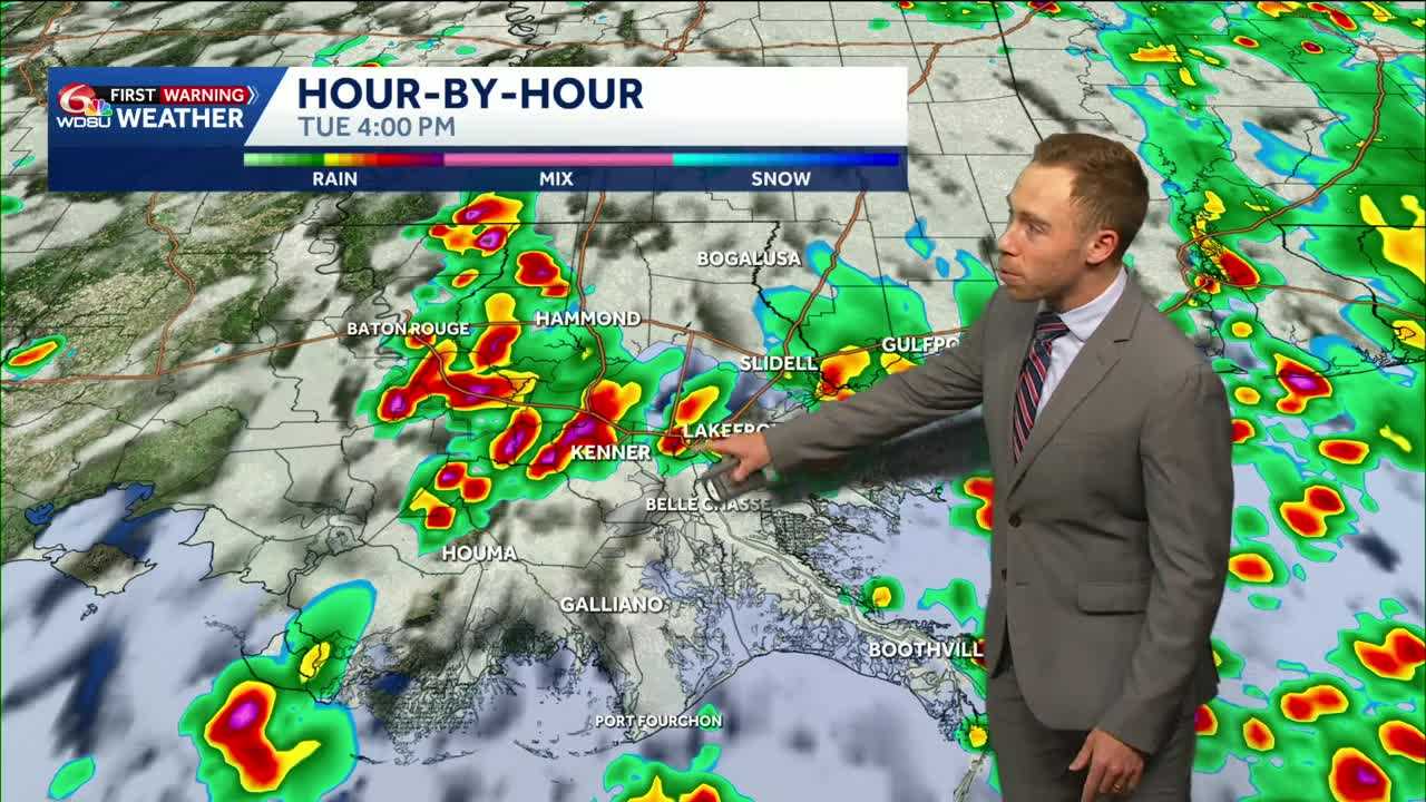
Heads up! Tuesday-Friday remain WDSU First Warning Weather Impact Days for the threat of locally heavy rain and flash flooding. Here’s the breakdown:
High-resolution model guidance coming in hot again for Tuesday across southeast Louisiana and south Mississippi.
The Flood Watch has been extended for much of southeast Louisiana and south Mississippi from 5am-7pm Tuesday.
With the ground very saturated, watch for street flooding under any heavy downpours that develop.
Storm motion will be a bit slower tomorrow, so rain totals could add up quickly. Hot spots of 2-4+ inches of rain possible. This stormy pattern continues with rounds of storms likely through at least Friday.
READ MORE:Flood watch extended. Watch for street flooding Tuesday.





