Heads up! Today is a WDSU First Warning Weather Alert Day for the potential of a few severe storms, localized flash flood threat.
Additional rounds of storms on the way Thursday-Sunday with a growing threat of flash flooding possible. A lot of details still to be ironed out regarding timing and location of highest rainfall amounts, but we need to monitor the flash flood risk into this weekend
For Wednesday evening-night: The Storm Prediction Center has upgraded sections of the Deep South to an Enhanced(Level 3 out of 5) for severe storms. Damaging winds, large hail & isolated stronger tornado risk possible this afternoon into tonight.
In addition, sections of Southeast Louisiana(north of I/12) upgraded to a Slight Risk(Level 2 out of 5) for severe storms. Tornado Watch issued until 11PM.
The tricky part here? Storms will be firing in SE LA and intensifying as they lift north into Mississippi. Isolated tornado, hail & damaging wind risk with any storms that develop. But, this risk is somewhat conditional to ‘if’ any storms develop.
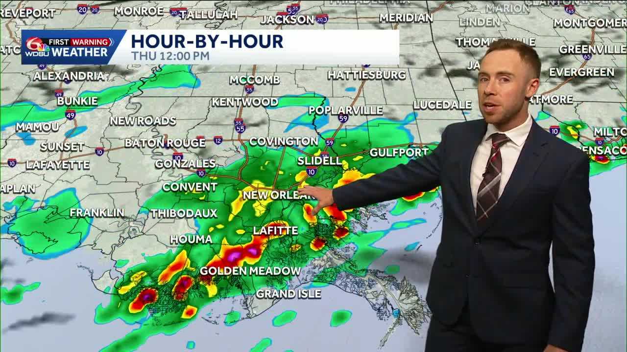
By Thursday, spotty to scattered storms with passage of the front. Not an all day washout.
The greater risk for locally heavy rain l00ks to arrive Friday-Saturday-early Sunday. It won’t be a non-stop deluge, but expect daily chances for storms.
Friday: Stalled front likely to fire up intermittent heavy storms along the I/10 corridor.
Saturday-early Sunday: More vigorous disturbance may increase rain coverage and heavy rain risk.
Stay tuned as we fine tune the details into this weekend.
READ MORE:Alert Day: Severe risk tonight, heavy rain threat into the weekend


