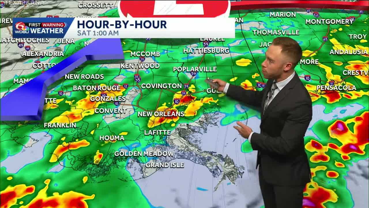
Good news! The Weather Prediction Center has LOWERED the flash flood risk across southeast Louisiana and south Mississippi to a Marginal (Level 1 out of 5).
The cold front has pushed south a bit earlier, and that will keep the strongest storms right along the coast. Scattered rain and few storms likely overnight, but the flood and severe risk is decreasing.
Rainfall accumulations of 1-2in with locally higher amounts possible.
Much drier, sunnier, and cooler conditions will be in the forecast this weekend behind all the wet weather. Highs will be in the 70s and windy on Saturday.
It will turn much warmer for the beginning of next week as southerly winds return. A chance of showers and storms are possible Wednesday and Thursday as another cold front enters the region.
READ MORE:Alert Day: Localized heavy rain tonight before a cool, gorgeous weekend!


