Cold weather fans, yall ready for a big change headed our way? Much colder temperatures are coming Wednesday-Saturday.
Before we get there, though, let’s talk about Tuesday.
Be aware. Patchy dense fog is possible Tuesday morning, especially north of the lake.
Another warmer day on tap with highs in the upper 70s-lower 80s.
Strong cold front barrels in Tuesday night. Few spotty storms Tuesday evening after 9 p.m., with stray storms with gusty winds and lightning.
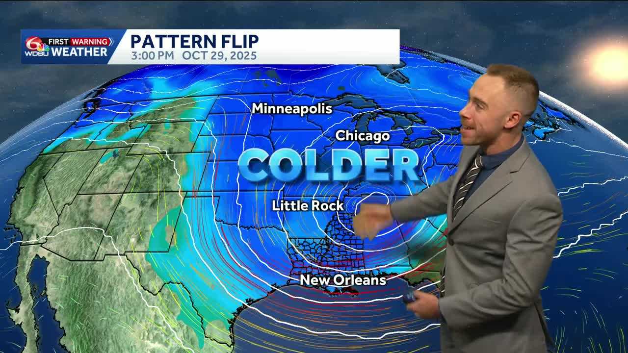
By Wednesday, much cooler and windy conditions. Highs in the mid 60s! Wind gusts 15-30 mph. Mariners, be aware! Gale Watch issued for lakes and coastal zones.
Sunny and stunning weather continues into late week and for Halloween. Overnight lows in the 40s on the Northshore and away from the lake. Low 50s in the Metro New Orleans area.
In the tropics, Category 5 Hurricane Melissa is bearing down on Jamaica, Cuba and the Bahamas.
Melissa is now a Category 5 with maximum sustained winds of 175 mph, minimum pressure of 906 mb.
This hurricane is rivaling the upper echelon of historic Atlantic storms with a devastating, catastrophic landfall expected in Jamaica Tuesday morning.
They are no stranger to hurricanes, but Melissa will likely set a new benchmark as the strongest hurricane to ever strike the island in recorded history while moving slower than the average person can walk. Melissa is presently moving at 3 mph.
Stay tuned to WDSU for the latest.
READ MORE:Pattern flip for Halloween week


