Friday will be another sunny and hot day for late October, but a cold front will bring a change and possible a little needed rain this weekend.
There will be some areas of patchy fog for a few hours Friday morning, but visibility will be fine after 9:00 am.
Clouds will increase later in the day with highs ranging from the mid to upper 80s in the South Shore to near 90 degrees on the North Shore.
Saturday morning will be humid with more scattered fog. A couple of brief showers may bubble up around midday with thunderstorm chances increasing after 2 p.m. Thunderstorm are most likely in the Bayou Parishes Saturday afternoon, but a stray downpour is possible in the Metro.
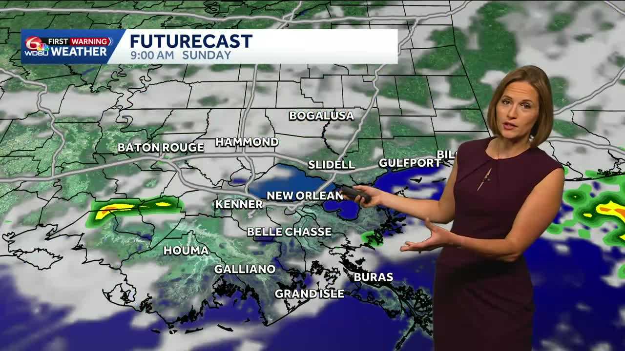
A cold front will move through Sunday morning. This will bring the greatest rain chance to the region. Expect scattered showers and a couple of heavier thunderstorms before noon. It will be a humid morning but once storms clear, the afternoon will be dry and a little more comfortable.
Next week will be more seasonable and mainly dry with just a slight chance for a shower or thunderstorm Thursday.
The WDSU First Warning weather team will be monitoring a possible tropical system in the southern Caribbean that could develop in about a week.
READ MORE:Thunderstorm chances this weekend. Here’s when rain is most likely each day.


